Berkelland
| Berkelland.mw-parser-output .entete.map{background-image:url("//upload.wikimedia.org/wikipedia/commons/7/7a/Picto_infobox_map.png")} | ||||
 Drapeau. | ||||
| Administration | ||||
|---|---|---|---|---|
Pays | ||||
Province | Gueldre | |||
Bourgmestre Mandat | Joost van Oostrum (VVD) | |||
Code postal | 7150-7152, 7156-7157, 7160-7161, 7165, 7260-7261, 7270-7271, 7273-7275 | |||
Indicatif téléphonique international | +(31) | |||
| Démographie | ||||
Population | 45 286 hab. | |||
| Densité | 159 hab./km2 | |||
| Géographie | ||||
Coordonnées | 52° 07′ 00″ nord, 6° 31′ 00″ est | |||
Superficie | 28 471 ha = 284,71 km2 | |||
| Localisation | ||||
 | ||||
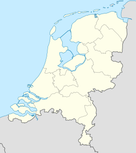
| Géolocalisation sur la carte : Gueldre
Géolocalisation sur la carte : Pays-Bas
Géolocalisation sur la carte : Pays-Bas
| ||||
| Liens | ||||
Site web | www.berkelland.nl | |||
modifier | ||||
Berkelland est une commune de 45 286 habitants (01/08/2006) dans le Gueldre aux Pays-Bas. La commune existe depuis le 1er janvier 2005, date de la fusion des anciennes communes de Borculo, Eibergen, Neede et Ruurlo. Berkelland tire son nom de la Berkel, petite rivière qui traverse la commune.
Localités |
Avest, Beltrum, Borculo, Brinkmanshoek, Broeke, De Bruil, De Haar, De Heurne, Eibergen, Geesteren, Gelselaar, Haarlo, Holterhoek, Hoonte, Hupsel, Leo-Stichting, Lintvelde, Lochuizen, Loo, Mallem, Neede, Noordijk, Noordijkerveld, Olden Eibergen, Rekken, Rietmolen, Ruurlo et Veldhoek.
Lien externe |
- Site officiel
- Portail des Pays-Bas


